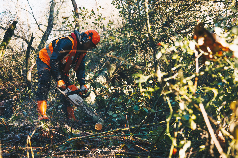
Riverside tree and scrub management
Management of riverside tree and scrub is a complex task for the Authority as we seek to balance the interests of navigation with environmental conservation.

The river corridors of the Broads contain a variety of habitats, with trees and scrub occupying a significant proportion. This wooded environment provides valuable habitat for birds, fish, bats and otter; forms an important landscape resource; and contributes to ecosystem services in the form of carbon storage. However, encroachment by trees and scrub over and into the water causes safety issues for navigation through the narrowing of the navigation channel and obstruction to sight lines, particularly on river bends. Dense growth of trees and scrub also has the effect of reducing the amount and strength of wind available for sailing vessels.
Some management of riverside trees and scrub is required in order to maintain navigation use and safety, however, the needs of navigation need to be balanced with the other values and interests as noted above. This balance can be achieved through effective prioritisation, consultation and sensitive working practices.
Much of the Broads area is designated for its nature conservation interest at National and European level. As such, any works within these protected areas requires assent from Natural England before work can commence. Consultation is required with the Environment Agency as riverbank tree management falls within the scope of the Water Framework Directive (WFD). An Environmental Permit is also a legal requirement for the use of herbicides near waterbodies, which includes the treatment of cut tree stumps. In addition, the Forestry Commission must be consulted on large scale felling of trees through the felling licence process, although the Broads Authority is exempt where works are required to maintain navigation safety.
Surveying
In 2015, an approach to categorising and prioritising riverside tree and scrub management was produced by the Broads Authority. Each river valley was surveyed by a Ranger and Environment Officer to determine the types of habitat present and the work required to make improvements to navigation safety. For each stretch of the river a priority class was assigned to reflect when the work should be undertaken. Notes were also taken regarding ecological features such as trees with bat potential and other points of conservation interest.
During January 2017, Rangers and Environment Officers worked together to fine tune the prioritisation process with additional criteria added to improve the robustness of the process. In February 2022 the first 5 year programme of tree works was completed.
During the summer of 2021 the riverside tree and scrub was re-surveyed to plan the next five years management (2022 -2027). As before, the sections of bank were prioritised using the criteria in the previous plan, with the addition of whether tree works had already occurred on the opposite or adjacent bank. This parameter was added to take into consideration previous management and the cumulative impact on the habitat and wildlife in those locations.
The list of parameters utilised in the prioritisation process includes:
- Sailing intensity
- General boat usage
- Presence of moorings
- Position of river stretch (bends or straight)
- Density of riverside growth
- Width of channel lost to tree encroachment
- Works on the opposite or adjacent bank
The above parameters are used to calculate a score which helps us to prioritise the areas which require management. A lower score equals a higher priority in the management plan.
Following the re-prioritisation and mapping process, permissions from statutory bodies and landowners have been obtained. Natural England assent covers the 5 year work plan, whereas landowner permission is sought on an annual basis once the fine details are determined in the summer preceding the works.
Prioritisation areas (2022 - 2027)
The prioritisation has been used to produce maps showing those areas that require management within the 5 years from 2022 to 2027.
We have produced prioritisation maps for year 3 (2024/25) (PDF) and the next five years (2022 - 2027) (PDF).
We are currently in the third year of our new five year programme (2024/25). Years 3 - 5 (2024/25, 2025/26, 2026/27) are subject to final operational work planning and budget availability in addition to obtaining further landowner permissions.
For each consecutive year, final decisions will be made over the summer as to the exact stretches that will be managed the following winter and how they are best managed in terms of resource. As part of this process, all areas of completed management will be recorded and any stretches that do not get managed within the proposed year will be re-programmed.
Caveats for Maps
All information shown on the maps are subject to landowner permission.
The majority of works for 2024/25 have been agreed but all future years may be subject to change.

