Broads Plan 2022 - 2027
Previous section: Appendix B - Abbreviations
Appendix C: Maps
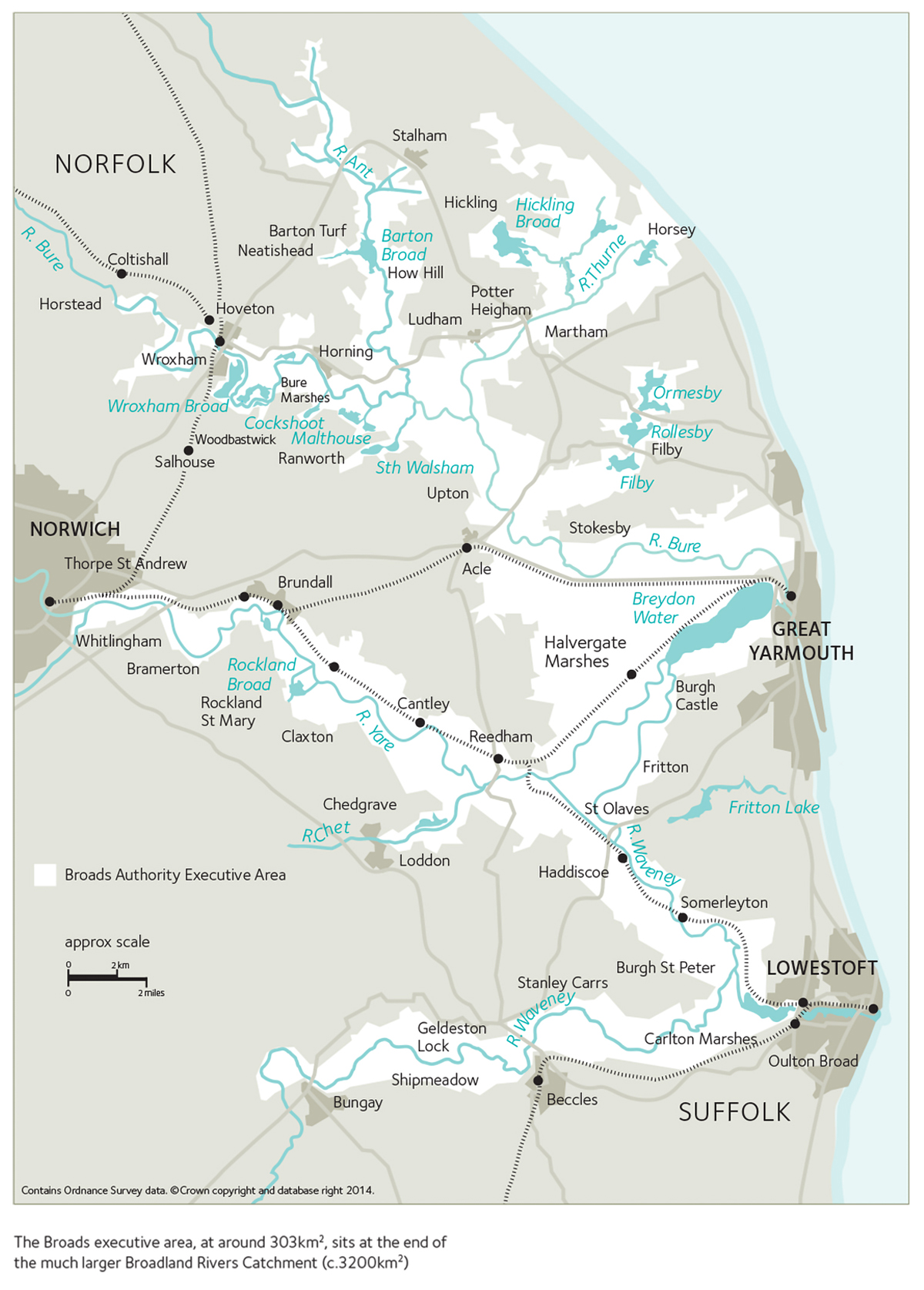
Map 1
Broads Executive Area
Map 2
Broadland Rivers Catchment

Map 3
Water space, Broads Authority executive area


Previous section: Appendix B - Abbreviations
Map 1
Broads Executive Area
Map 2
Broadland Rivers Catchment
Map 3
Water space, Broads Authority executive area